GBS MapsNZ_C_H.jpg
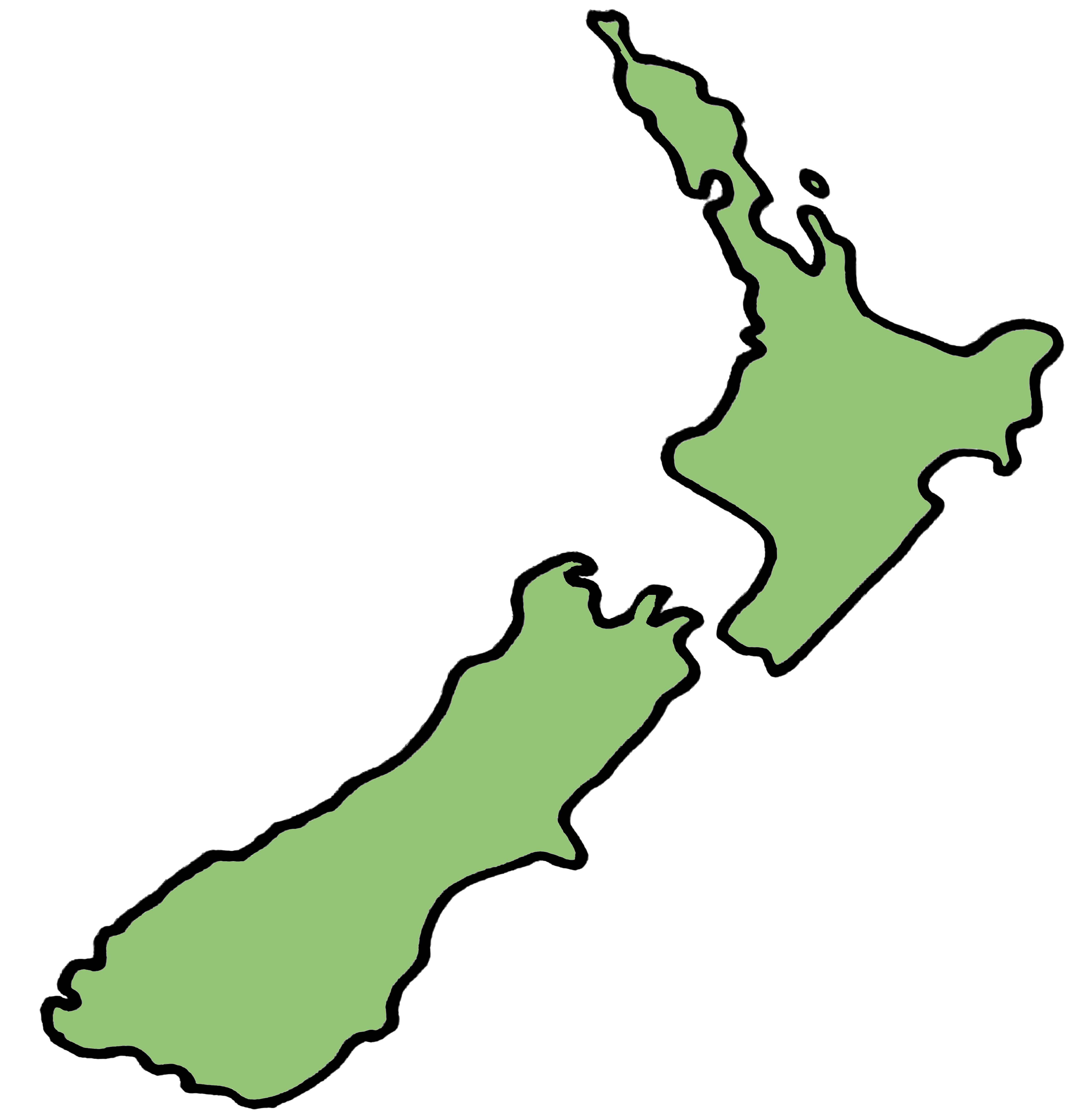
Colour map outline for New Zealand (excluding Stewart Island).
Dodatne informacije
| Polje | Vrednost |
|---|---|
| Podaci ažurirani poslednji put | 28. april 2018. |
| Meta podaci ažurirani poslednji put | 11. avgust 2025. |
| Kreirano | 28. april 2018. |
| Recent downloads | 14 |
| Total downloads | 89 |
| Format | JPEG |
| Licenca | CC-BY 4.0 (Attribution) |
| Verzija | |
| Datastore active | False |
| Has views | True |
| Id | e994894b-11ea-4e5e-8af0-d59f28e73316 |
| Mimetype | image/jpeg |
| Package id | 4dae6113-a078-4c00-ac1d-b062058e3dfb |
| Position | 2 |
| Size | 2 MB |
| State | active |
| Url type | upload |